

A Sanibel to Fort Myers Beach day trip takes you from Sanibel across the Sanibel Causeway to Estero Island, where seven miles of Gulf shoreline await. Public beach accesses are marked along Estero Boulevard.
- Route: Sanibel Causeway to the mainland at Punta Rassa, then onward to Estero Island.
- Beach access: The Town maintains 29 public accesses along Estero Boulevard.
- Facilities: Many accesses have public parking, and many are ADA accessible by mobi mat or ramp.
How do you get from Sanibel to Fort Myers Beach?
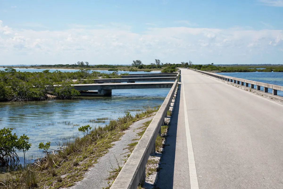
The Sanibel Causeway connects Sanibel Island with the mainland at Punta Rassa, providing the road link for the trip to Fort Myers Beach. If you are staying at this inn in Sanibel, the Causeway is the key route to know.
The Causeway opened to traffic on May 26, 1963, replacing a ferry that had operated between Sanibel and the mainland. Lee County provides real-time traffic information and a Sanibel Toll Plaza camera, so check the official site before you go.
Driving and transport choices
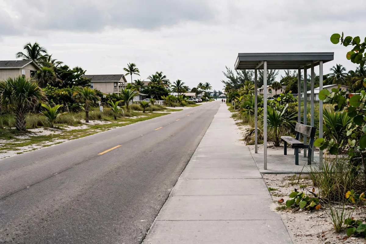
Driving takes you across the Causeway, while public transport options involve connections through Beach Park and Ride. LeeTran’s Route 490 runs between Beach Park and Ride and Times Square; check current service details before planning around it, as schedules can change.
If you are comparing the Causeway trip with travel to the mainland city, the Sanibel to Fort Myers route and transport guide covers that separate journey.
Beach access and facilities to check
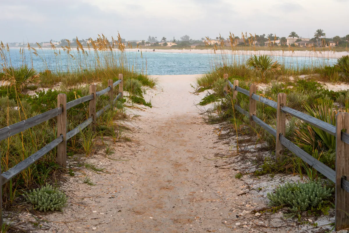
Fort Myers Beach has 29 public beach accesses along Estero Boulevard, the island’s only thoroughfare. The Town says many have public parking, and many are ADA accessible by mobi mat or ramp. For a different shoreline on Sanibel, compare the Sanibel beaches guide before choosing where to spend your beach time.
Facilities may be limited: some restrooms, piers and walkovers have not been repaired or replaced, and temporary restrooms are available at some beaches. Follow posted closure signs, respect wildlife areas and dune vegetation, and swim at your own risk.
A flexible day-trip outline
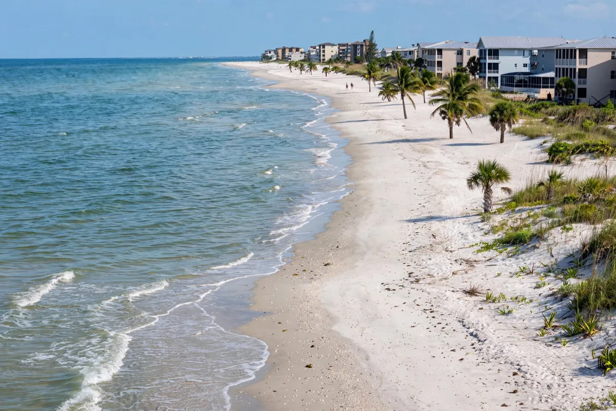
Keep the plan simple: cross the Causeway, choose an open public access on Estero Boulevard, then leave time for the return drive. The island has seven miles of Gulf of Mexico beach, so you can pick an access point first and shape the length of your beach stop around the facilities available there.
Before setting out, check the Town of Fort Myers Beach’s current access notices. Access and restoration conditions can change, and checking ahead helps you avoid planning around a closed area.
Getting back to Sanibel
Return to Sanibel by crossing the Causeway back toward the island. Lee County’s real-time traffic information and toll plaza camera can help you check conditions before you leave Fort Myers Beach.
FAQs
How do you get from Sanibel to Fort Myers Beach?
The Sanibel Causeway connects Sanibel Island with the mainland at Punta Rassa, providing the road link to Fort Myers Beach.
How many public beach accesses are there?
The Town maintains 29 public beach accesses along Estero Boulevard on Estero Island.
Are Fort Myers Beach accesses accessible?
Many accesses are ADA accessible by mobi mat or ramp. Check the Town’s access information for current details before your trip.